The basic survey provides a geometrical basic information of a field of interest with surveying and mapping-methods. It is generally 3-dimensional and serves as the base for further planning, constructions or administrative activities. Alternatively, it may also have a documentary character (e.g., in case of final documentations).
Basic Surveying
Range Of Services
- Creation of planning bases for construction projects
- Creation of plane and height maps
- Settlement of final documentations
- Execution of site surveys
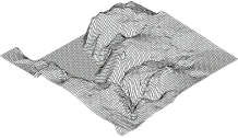
- Creation of 3d-terrain models
- Determination of terrain profiles
- Internal documentation
- Implementation of cadastral information and land register data
- Implementation of zoning plan data
- Integration of external information sources (GIS, MZK, steet- and train information system)
- Calculation and evaluation with special geodetic software
- Computer Aided Design (CAD)
- Data provision for geoinformation systems
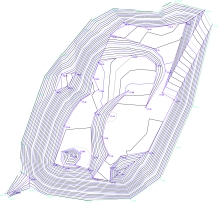
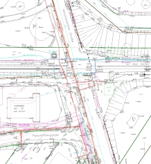
A central result of the basic survey is the plane and height map , in which the surveyed area is shown in detail. This gives a complete geometric description of the area.
If there is a need for detailed knowledge of the groundlevel (e.g. for earthworks or landfilling, mass determination, volume calculations), special field surveys can be made, or terrain profiles can be measured in regular intervals. It is also possible to create complete 3D‑models.
External data sources and information from external systems can be integrated, eighter by simple transfer or automated by transmission via data interfaces. Such data files are e.g. data on the progress of internals, cadastral- and/or land register information and alignment or borderlines.
Data from GIS, MZK (multi-purpose-map), street- and train informationsystems can also be included.
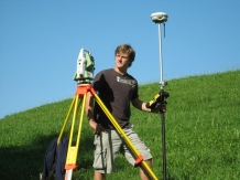
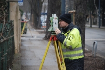
In the field of basic surveying, KOPA offers over a decade of know-how and with its highly qualified employees, KOPA can provide all services like creation of plane and height maps, final surveys, terrain admissions and surveying of terrain profiles.
The evaluation of the surveying activities is conducted with the programm rmGeo®.
On request 3-dimensional terrain models or terrain profiles can be generated or volume calculations can be made.
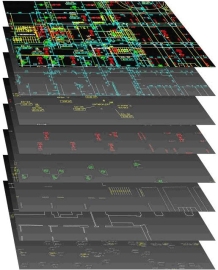
The plan design is carried out in CAD. The integration of additional plugins offers the automatic data transfer from the survey to the final plan. The plan is based on different layers corresponding to the plan content and requirement.
The integration of external data sources and information from external systems (internals, cadastre, land register, GIS, MZK, ASFINAG, ÖBB…) also happens this way.
Furthermore, KOPA is also able to create interfaces, for exchanging data between different systems (e.g. import from and export to geoinformation-systems (GIS)).
